
Capture service · SHARE C1 Pro
Scans whereGPS can't reach.
Need accurate 3D of a building, interior or plant room? We bring the scanner, capture the site and send you a MapShare link and the files.
- On site
- Within 2 weeks
- We travel
- All of Victoria and major cities
- Files in
- 3 days from capture
- You get
- Point cloud, mesh, plans, MapShare link
- Melbourne team
- The scanner we sell and service
- MapShare link with every job
- PL and PI insured
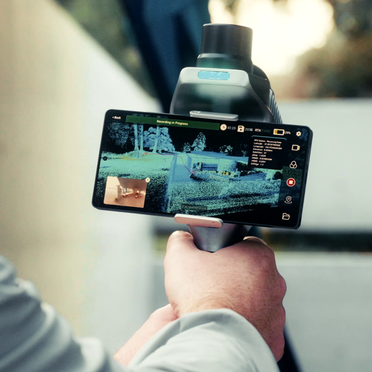
A delivered scan
Open it in the browser, look around and measure. This is the kind of link your team gets.
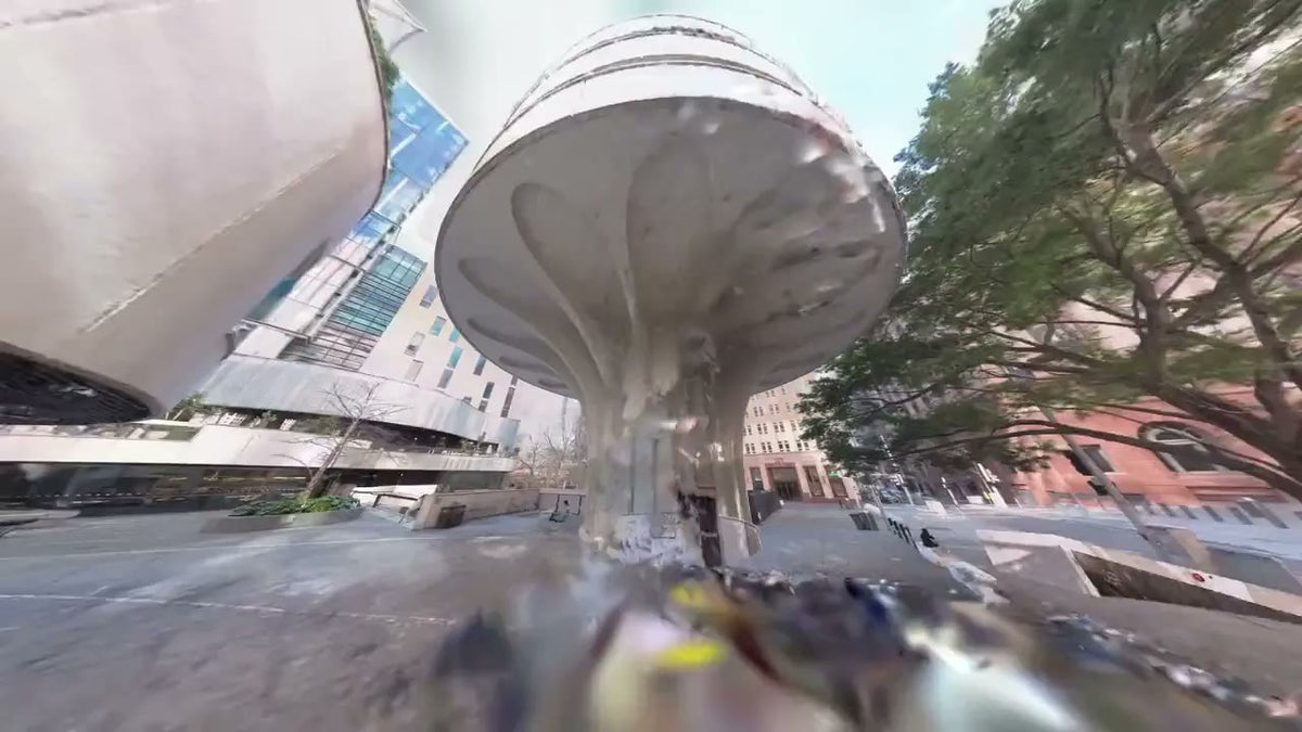
When it's the right tool
A tripod scanner is slow in tight, busy, many-roomed spaces, and a tape misses what you didn't think to measure. The handheld scanner captures as we move, so a whole floor comes back as one model.
Good for
- As-builts before a fit-out or refurbishment
- Heritage interiors and facades
- Plant rooms, risers, ceiling voids and basements
- Car parks and tunnels with no satellite signal
- Existing conditions, floor plans and sections for Revit and CAD
Not for
- Boundary or cadastral surveys
- Large open ground, better done from the air
Need a licensed surveyor's sign-off? Tell us and we'll work with your surveyor.
What you get
What's included
- A scoping call to agree the area, files and coordinate system
- Capture on site, with access and inductions arranged first
- Processing: people and noise removed, colour added, the cloud checked
- A MapShare link your whole team can open
- The clean cloud and other files ready to download from that link for 1 month
- Two rounds of revisions if something needs changing
Files and formats
| Output | Format | Opens in |
|---|---|---|
| Shareable view | MapShare link | Any browser, no softwareClean cloud downloads from the link |
| Colour point cloud | E57 · LAS · LAZ | Revit via ReCap, AutoCAD, CloudCompare, QGIS |
| Mesh model | OBJ | 3D viewers, Blender, SketchUp |
| Plans, sections and elevations | DXF · DWG · PDF | AutoCAD and other CAD |
Works withRevit (via ReCap) · AutoCAD · CloudCompare · QGIS · Blender · SketchUp
How a job runs
- 01
Scope
Send the address, rough area and the files you need. We confirm a price and a date.
- 02
Capture
We scan the site in one visit. Occupied buildings are fine; we work around people.
- 03
Process and check
We register, colour and check the cloud, then cut the outputs.
- 04
Deliver
You get a MapShare link and the files, with a note on how the job was captured and checked.
Booking On site within 2 weeks of booking Files 3 days after capture
How we check the data
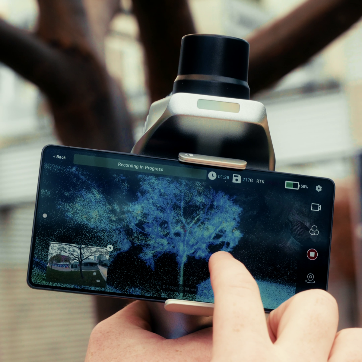
Every delivery comes with a note on how the scan was controlled and checked, so you know what the data can be used for. Where a job needs survey coordinates, we fix the scan with RTK outdoors or tie it to control points you supply.
The scanner's spec is better than 1 cm and 5 cm. We quote a margin so the numbers hold on real sites.
- Site grid or GDA2020 MGA, your choice
- Private to your team, deleted after 1 month
- Public liability and PI, certificates on request
- QA note with every delivery
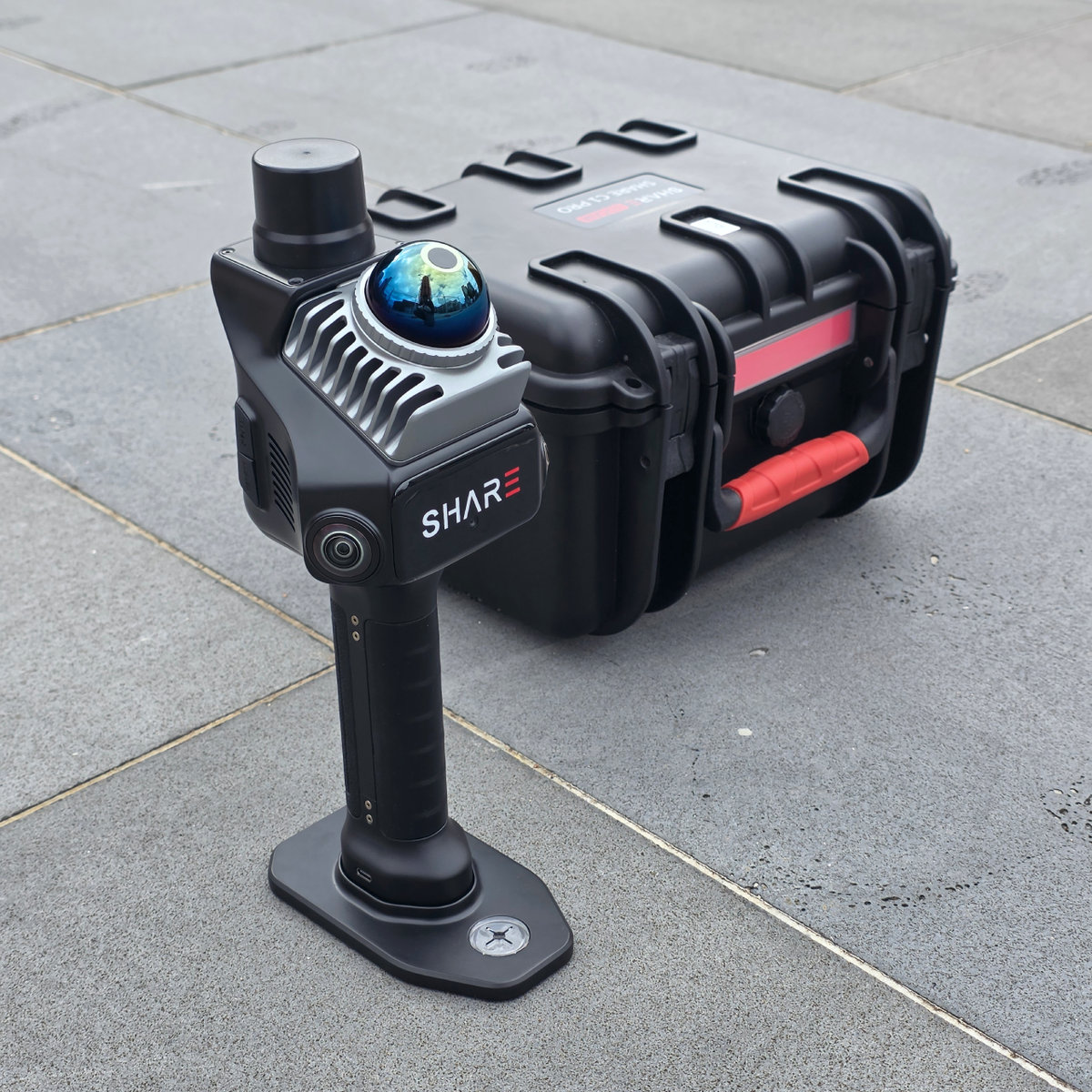
The kit we use
The same scanner we sell. Rather run scans in-house? We set it up and train your team, and we can process the data you capture.
Price
What moves the price
- Floor area and number of levels
- Travel outside metro Melbourne
- Plans, sections or a Revit-ready cloud
- After-hours access
Questions
Do you need GPS or survey control?
No. The scanner tracks its own position as it moves, which is why it works indoors and underground. If you want the scan in survey coordinates, we add RTK outdoors or tie it to control points you provide.
Can you scan while the building is in use?
Usually, yes. People moving through the scan are filtered out in processing. We'll ask about busy times and areas that need an escort.
What do you need from us?
The address, the area to cover, any plans, access and induction details, and the files you want. Share plans as a Drive or Dropbox link in the form.
Can we get it into Revit or AutoCAD?
Yes. E57 and LAS import through Autodesk ReCap. Tell us your software and version when you ask for a quote.
How long can we download the files?
For 1 month from delivery. Your MapShare link is private to your team, and after that month the data is deleted from our systems. Download everything you need to keep before then.
Will it open in CloudCompare or QGIS?
Yes. Download the LAS or LAZ from your MapShare link and open it in either. Both are free.
How far do you travel?
Anywhere in Victoria and to the major Australian cities. Outside metro Melbourne, a travel fee is added to the quote.
Is your team insured?
Yes. We carry public liability and professional indemnity insurance. Certificates are available on request.
Tell us about the site
We'll reply with a price and a date. Quotes go out within 1 business day.