
Ground Truth
Independent, field-tested guidance on drone & handheld mapping for Australian teams — platform selection, accuracy, compliance and data workflows.
 Insights
Ground Truth
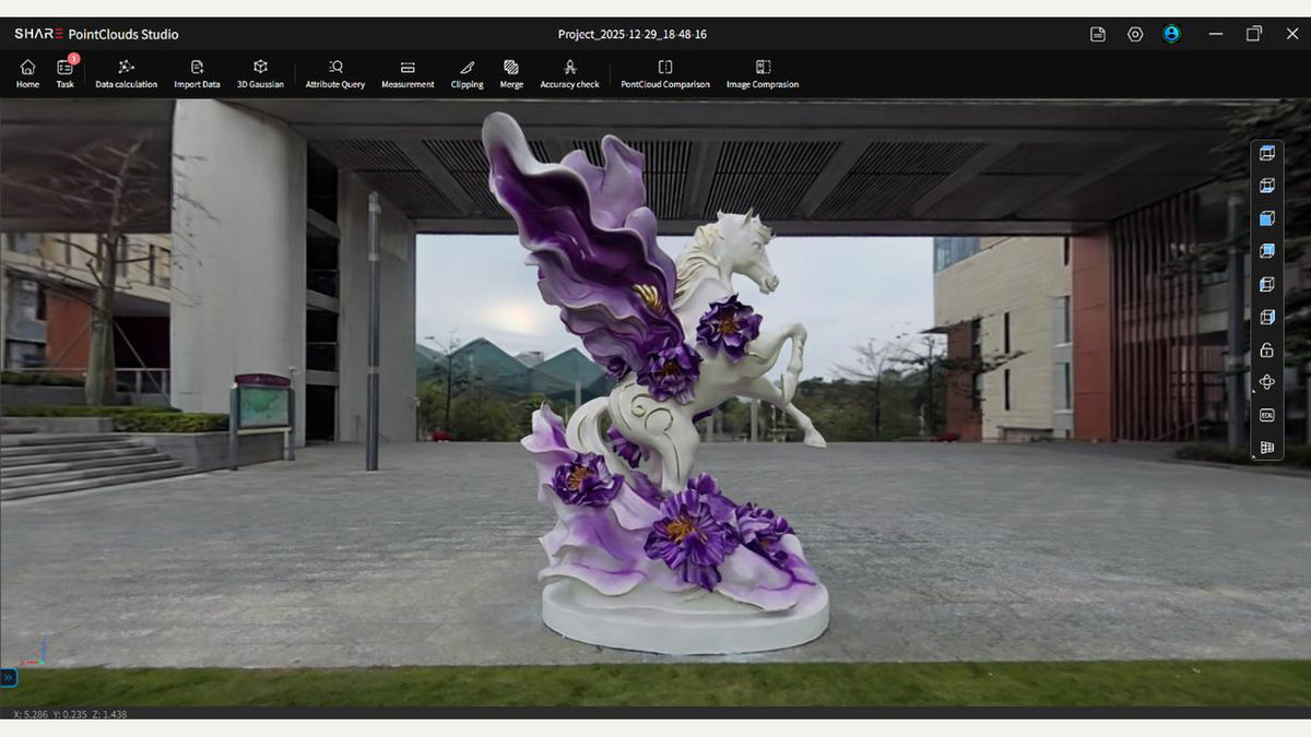
SHARE 3DGS capture: photo interval, pace and path
SHARE's 3DGS scanning guide in field language. Half-second stills, a slow walk, overlapping loops...
Read article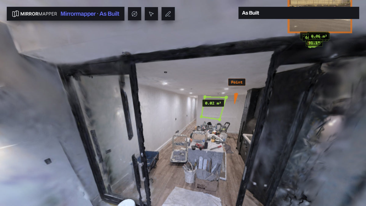 Insights
Ground Truth
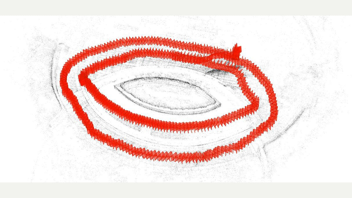
Why we built software for a scanner that was already easy to use
SHARE is easy on site. The job that follows is getting the scan in...
Read article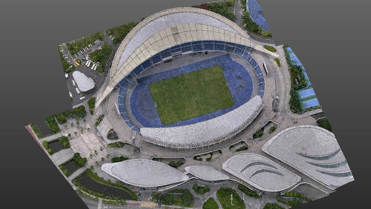 Best Practices
Ground Truth
One site, two platforms, one point cloud: how to merge drone LiDAR with a handheld scan
Every site has parts the drone cannot see. Field and processing workflow to merge...
Read article Insights
Ground Truth
AUSCORS NTRIP: the correction network that makes your drone and handheld scanner survey-grade
AUSCORS NTRIP is Geoscience Australia's no-charge RTK stream. Account, caster, mount names like ALIC00AUS0,...
Read article Insights
Ground Truth
SHARE Point Cloud Studio 2.6: register clouds, sit them on control
SHARE Point Cloud Studio 2.6 adds point cloud registration, control-point coordinate transform and PPK....
Read article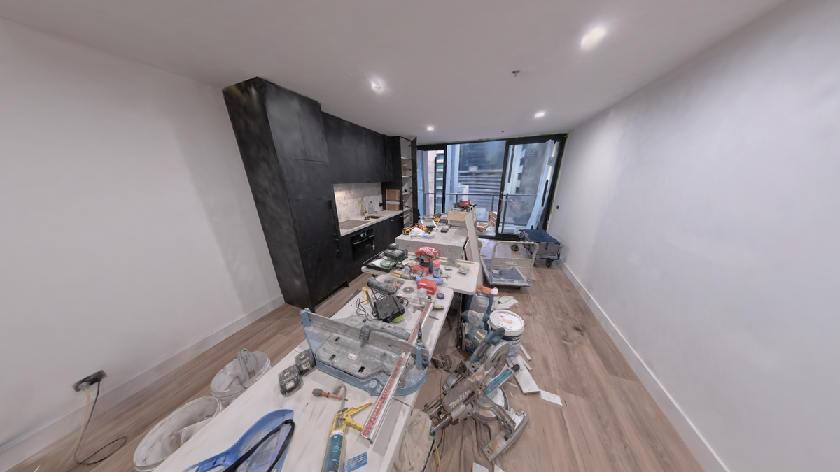
Ground Truth
As-built interiors with SHARE C1: walk the rooms your drone cannot fly
Walk an apartment, plant room or fit-out with SHARE C1 or C1 Pro, then...
Read article Insights
Ground Truth
Landscape architecture capture with handheld SLAM
Walk parks, courtyards, campuses and garden fabric with SHARE C1 or C1 Pro. Terrain...
Read article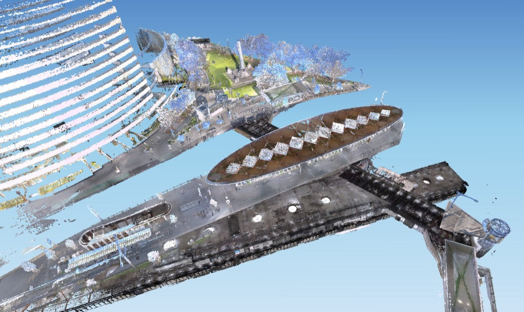
Ground Truth
Handheld SLAM scan checklist: walk, close loops, deliver MapShare
A field checklist for SHARE C1 and C1 Pro as-built work. Pace, loops, RTK,...
Read article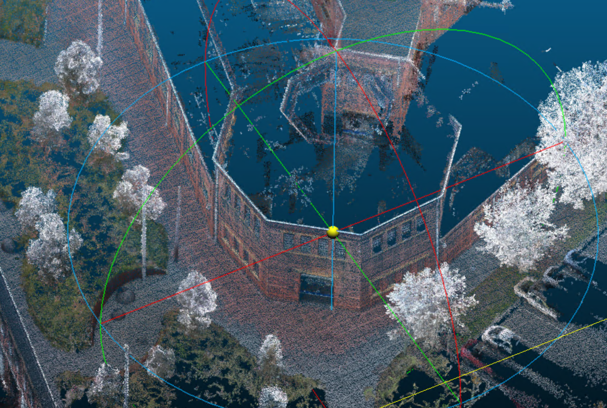
Ground Truth
Drone mapping plus handheld SLAM: one site model with SHARE C1 Pro
Fly the roof and open ground. Walk plant rooms, under canopy and interiors with...
Read article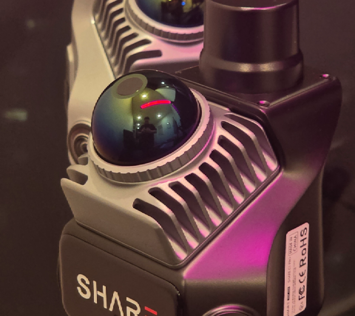
Ground Truth
SHARE C1 vs C1 Pro: which handheld LiDAR to buy
How to read SHARE's C1 and C1 Pro specs as a buyer. Indoor SLAM...
Read article Insights
Ground Truth
LiDAR range at 10 percent and 80 percent reflectivity
Spec sheets quote two ranges because dark surfaces return less laser than bright ones....
Read article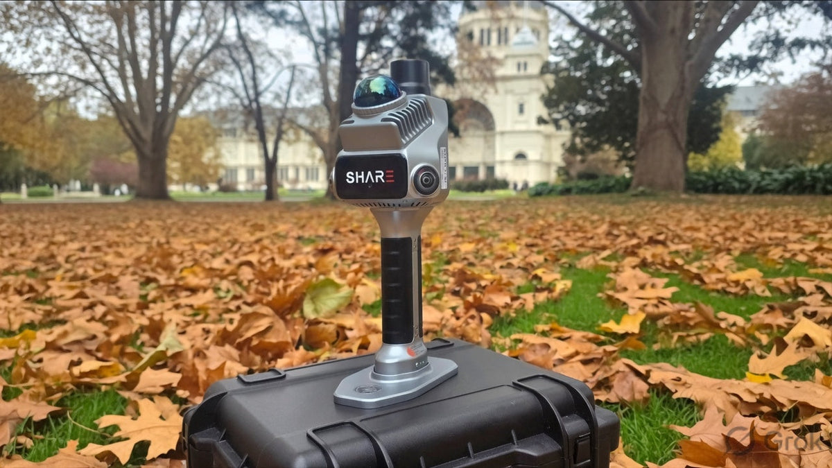
Ground Truth
How SLAM mapping works: LiDAR, walk-through scanning and RTK
Laser time of flight, fused LiDAR and visual SLAM, and AUSCORS RTK explained on...
Read article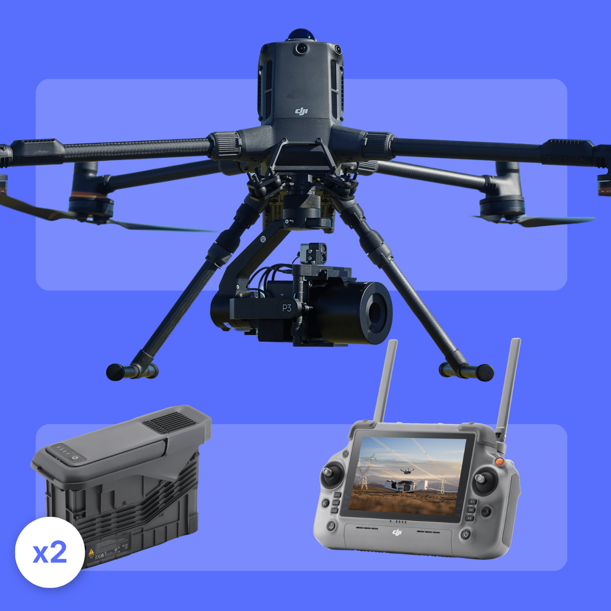 Comparison
Ground Truth
Matrice 400 vs Matrice 4D, then cover the ground
M400 for payload and LiDAR. 4D plus Dock 3 for repeat visual. SHARE C1...
Read article Comparison
Ground Truth
When Matrice 400 is the wrong aircraft
Buy M400 when payload or L3 actually constrains you. Matrice 4-class for inspection and...
Read article Comparison
Ground Truth
How to choose a site capture stack, not just an aircraft
Pick the capture stack for the site. Aircraft for open ground, Dock 3 when...
Read articleNo articles match. Try another type or a shorter search.