There is a gap in most mapping workflows, and it is the part you cannot fly. Your drone handles the roof and the open ground. Then you reach a stairwell, a plant room or a garden under canopy. GPS drops out. You are back to a tape.
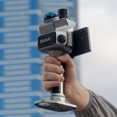
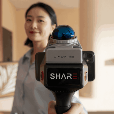
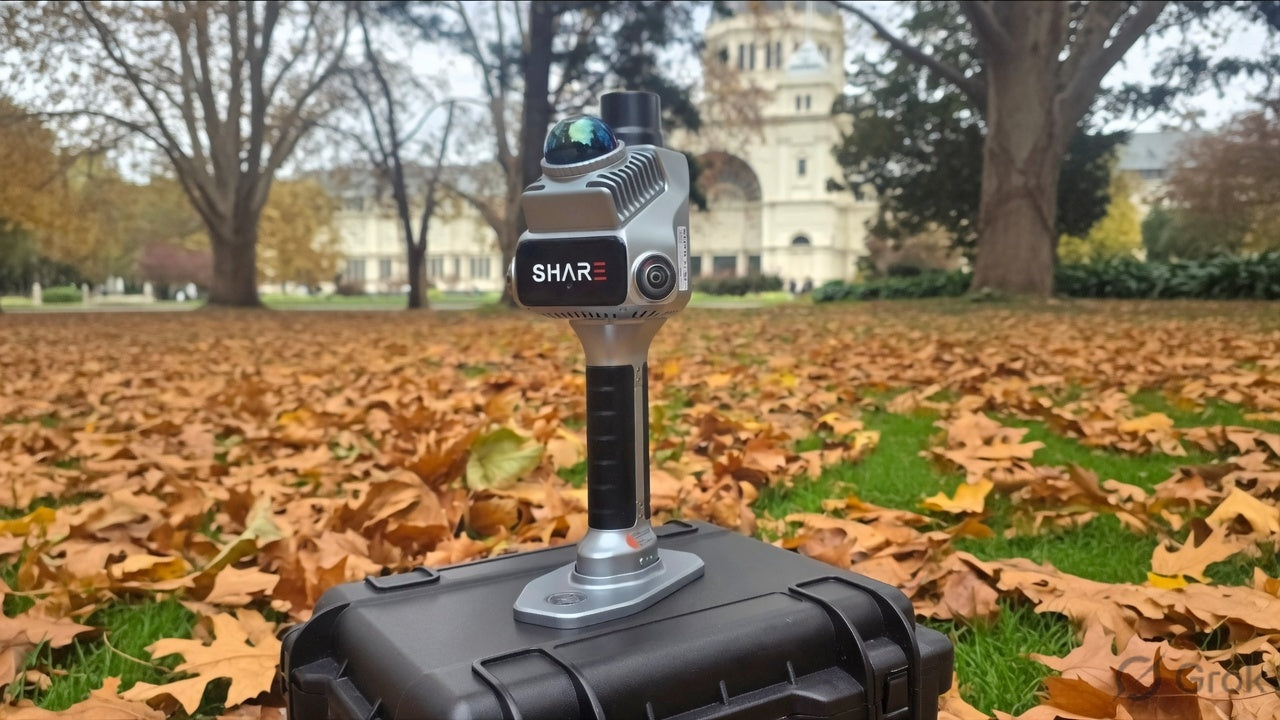
SLAM scanning is how you close that gap on foot. This is the plain version of what is happening inside a SHARE C1 or SHARE C1 Pro while you walk. Same LiDAR class, same SLAM idea. C1 Pro adds RTK so the walk can sit on AUSCORS coordinates.

LiDAR: distance from time of flight
LiDAR is Light Detection and Ranging. The scanner fires a laser pulse. The pulse hits a surface and returns. The sensor times the round trip. Light's speed is known, so time becomes distance.
On the C1 series the laser is 905 nm, Class 1, eye-safe at normal operating distance. About 200,000 pulses a second, tilted 25 degrees so you pick up floor and ceiling as you walk, not only a slice at head height. Each return is a point. Millions of points are a point cloud.
Range: 0.1 to 70 m at high reflectivity, around 40 m on darker surfaces. That is why a wide stairwell still has geometry and a very large dark shed starts to go thin at the far wall. Thin far walls are a C10 conversation, not a firmware hope.
SLAM: the map and your position, at the same time
SLAM is Simultaneous Localisation and Mapping. The scanner does not know the building in advance. It has to build the map of surfaces and work out its own position in that map, continuously, as you move.
It recognises the same physical features (a corner, a column, a door frame) across consecutive sweeps and calculates how far the scanner must have moved. String those updates together and you get a trajectory with the cloud growing around it.
The C1 series runs LiDAR SLAM and visual SLAM together. Geometry from the laser. Texture from the cameras. In a featured room they agree. In a plain concrete corridor, laser-only tracking can drift because every bay looks the same. Visual SLAM is the second vote. That is why fused units hold stairwells, basements and conveyor galleries better than a single-sensor walk.
Watch on YouTube: SLAM tips for doorways, corners and narrow rooms (SHARE)
You still have to walk well. Loops, pace, no hero sprints. See the scan checklist.
Where RTK fits
SLAM alone gives a locally consistent model. Geometry can be tight relative to itself and still float in an arbitrary frame.
RTK (real-time kinematic GNSS) on C1 Pro, connected to AUSCORS NTRIP outdoors, anchors the outdoor legs to real-world coordinates. Positioning while fixed: 0.8 cm + 1 ppm horizontal, 1.5 cm + 1 ppm vertical. Setup is quick. No base station to level.
Walk indoors, GNSS drops, SLAM carries the line from the last good fix. Drop the included GCP plate on a known point when the job wants an independent snap. GCPs remain useful. RTK expands the jobs you can do with fewer marks. It does not retire good survey practice.
C1 has the same indoor SLAM core without integrated RTK. Use your own control, or the RTK module, or stay relative.
The three numbers people mix up
Because they measure different things, name all three:
- RTK positioning accuracy of the scanner (outdoors, fixed).
- Point cloud absolute accuracy (better than 5 cm on a clean RTK traverse).
- Point cloud relative accuracy (better than 1 cm, thickness inside 1 cm).
A cloud can be internally clean and still carry more absolute error after a long GPS-denied leg. Ask which number the spec is testing before you answer a client.
What you actually use it for
SHARE and our own jobs land in the same pile:
- Interiors, stairwells, plant rooms, multi-storey fit-outs
- Tunnels, basements, GPS-denied industrial space
- As-builts, scan-to-BIM, volumes under cover
- Heritage and contact-sensitive fabric
- Landscape and streetscape the drone cannot see under canopy
- Whole site: fly the outside, walk the inside, one model
Then SHARE Point Cloud Studio solves colour and export. MapShare is how a client who does not run CAD opens the project. Apartment-scale example: mapshare.app/p/as-built-721fee4b. Point cloud for measure. Gaussian splat when Studio has generated one. Twelve months of MapShare Studio with every C1 and C1 Pro.
Watch on YouTube: exploring the map with SHARE C1 Pro (Mirrormapper)
Buy the walk, not the acronym
LiDAR captures the detail. SLAM lets you capture it moving. RTK ties outdoor legs to the map. Together they are the half of the job the drone was never going to do.
C1 from $6,199. C1 Pro $7,999. In stock, available to buy now. Book a demo and we will walk your site with the preview running so you can see trajectory, colour and RTK status on the phone.
SHARE C1 · SHARE C1 Pro · C1 series
Read next: C1 vs C1 Pro · as-built interiors · drone plus handheld
FAQ
Does SLAM need GPS?
No. That is the point indoors. GPS (RTK) is how C1 Pro georeferences the outdoor parts of the same walk.
Is handheld SLAM a total station replacement?
No. It is a walk-through capture method. Use a total station or level when the spec names those checks. Use SLAM when you need complete geometry fast.