
Ground Truth
Independent, field-tested guidance on drone & handheld mapping for Australian teams — platform selection, accuracy, compliance and data workflows.
 Best Practices
Ground Truth
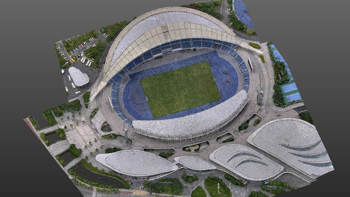
A drone model is not a BIM. It is the measured site you overlay on the one you drew.
Tenders say digital twin and mean a current, georeferenced 3D you can fly again....
Read article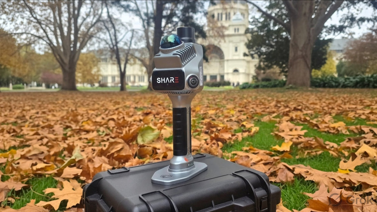
Ground Truth
How SLAM mapping works: LiDAR, walk-through scanning and RTK
Laser time of flight, fused LiDAR and visual SLAM, and AUSCORS RTK explained on...
Read article Comparison
Ground Truth
Terra builds the model. Modify cleans the mesh. Repeated surveys live or die on the coordinate system.
Terra turns a flight into a measurable file. Modify repairs a mesh you already...
Read articleNo articles match. Try another type or a shorter search.