

Matrice 4
Crewed 4E and 4T, or 4D and 4TD on Dock 3.
- Crewed
- Dock 3
- Thermal

Aerial
Matrice 4 Series and Dock 3 for geospatial mapping, photogrammetry and scheduled remote flights. Specced against the job, commissioned in Australia.
Matrice 4 for crewed flights and Dock 3. Matrice 400 when the payload needs lift.
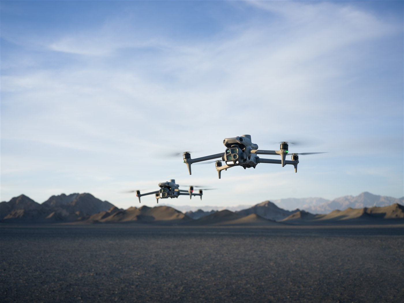
Capture what was actually built, not what was drawn. Interiors on foot, roofs and yards from the air, one registered model.
View job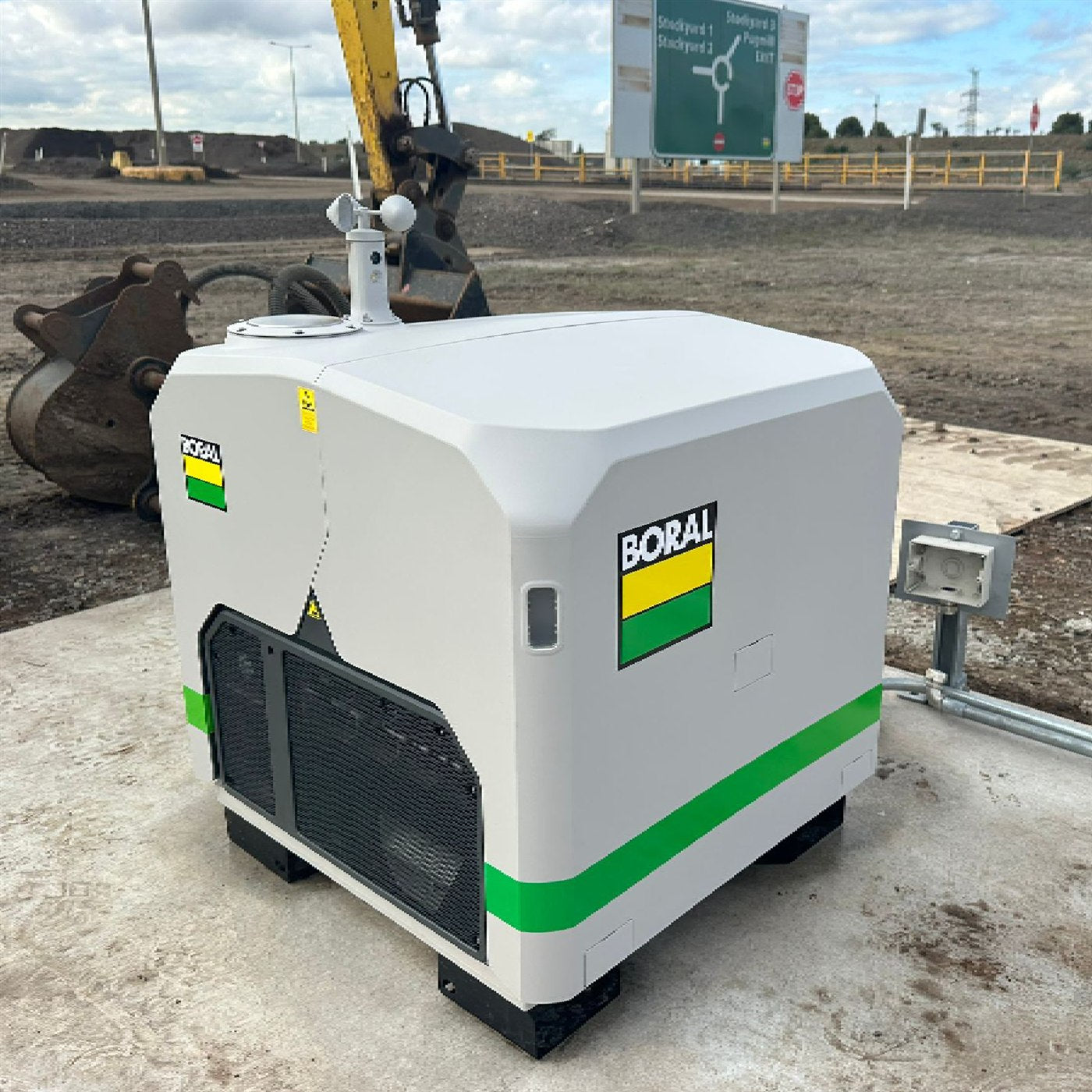
Pit to plant to decline. One coordinate system, two capture methods, a model your surveyors will sign.
View job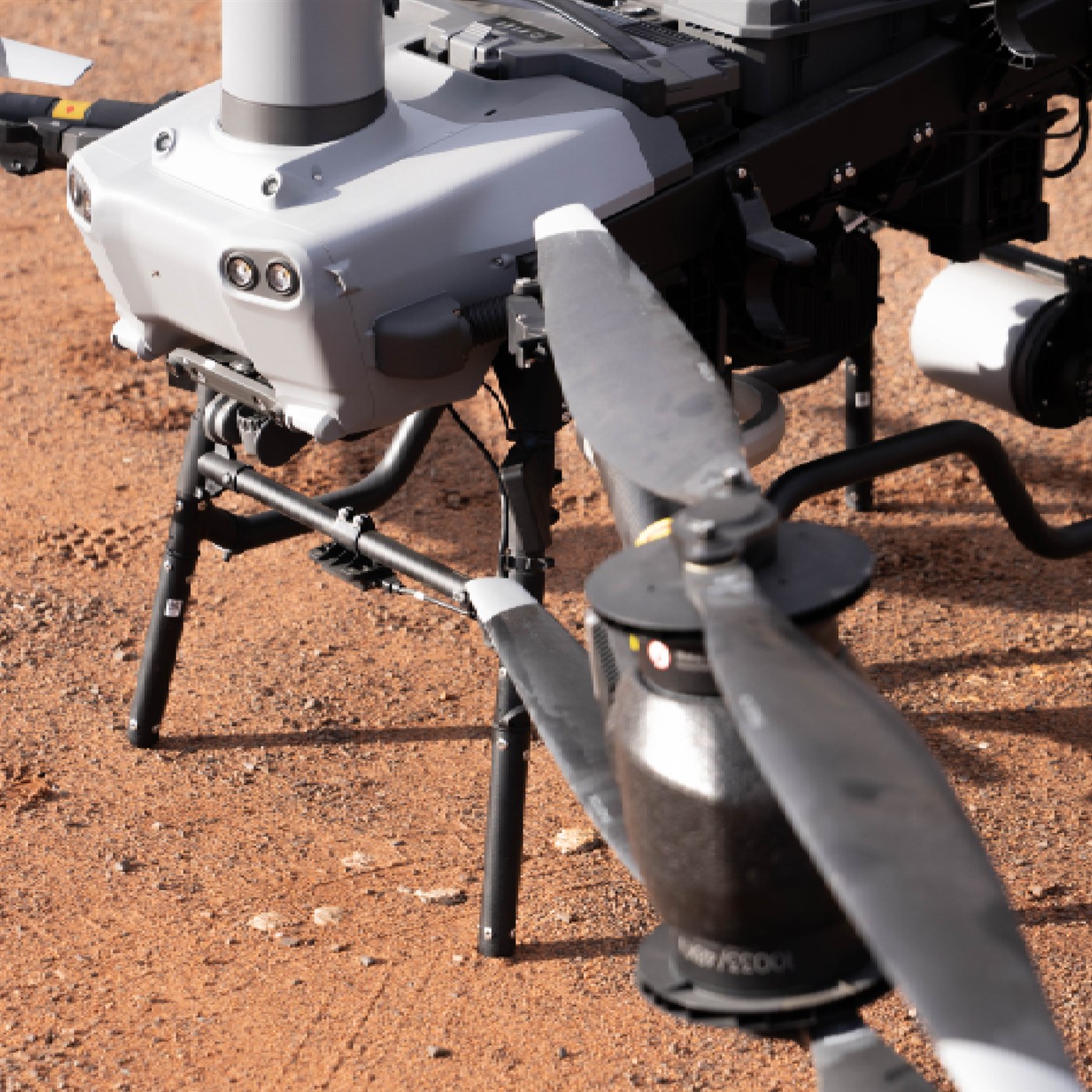
Open yards from the air, covered sheds on foot. Repeatable volumes you can put in a reconciliation.
View job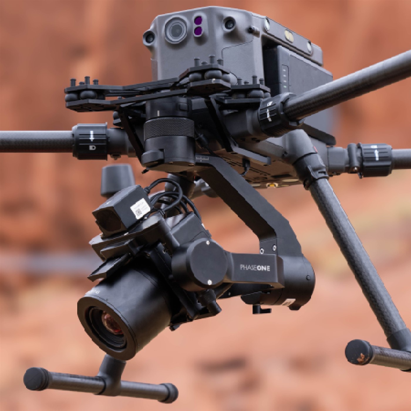
Corridor structure, vegetation and asset detail. Fly LiDAR and AI, add high-res SHARE inspection cameras, dock when the route repeats.
View job
Fly the cell for the plume. Walk the hotspot for the source. Same sensor, one report.
View job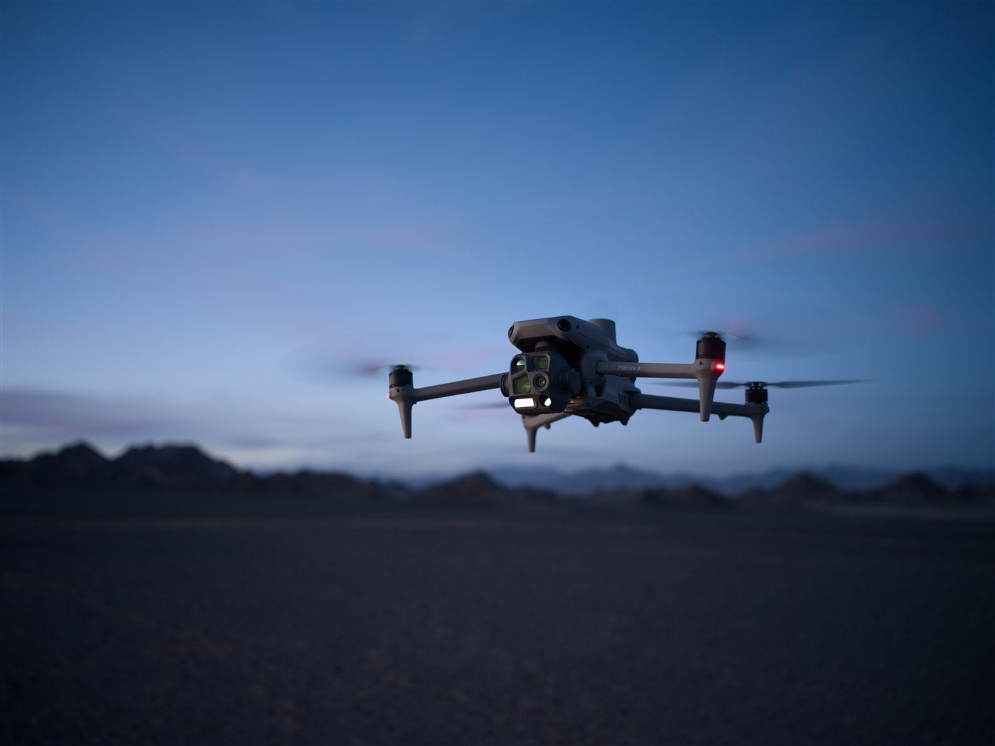
A permanent record of the fabric as it stands. Walk the interior, fly the roof.
View jobCompare
| Spec |
DJI
|
DJI
| ||
|---|---|---|---|---|
| Role | Mapping and photogrammetry | Thermal inspection | Lift and endurance | Heavy lift delivery |
| Compact / IP-rated | Compact 4E · IP-rated 4D | Compact 4T · IP-rated 4TD | Not applicable | Not applicable |
| Payload / camera | Integrated wide + medium + tele mapping suite | Integrated thermal + wide + tele suite | LiDAR, survey cameras, inspection payloads | Cargo and multi-hook delivery systems |
| Best for | Colour geometry and repeating mapping sites | Thermal, wide and tele on one aircraft | Heavier remote sensors and long programmes | Site logistics and heavy delivery programmes |
| Ops style | Crewed or Dock scheduled | Crewed or Dock scheduled | Crewed flight | Crewed flight · quote to configure |
Tell us the site and the deliverable. We'll name the kit, the price and the lead time.

