

Drone intelligence for every paddock, every day
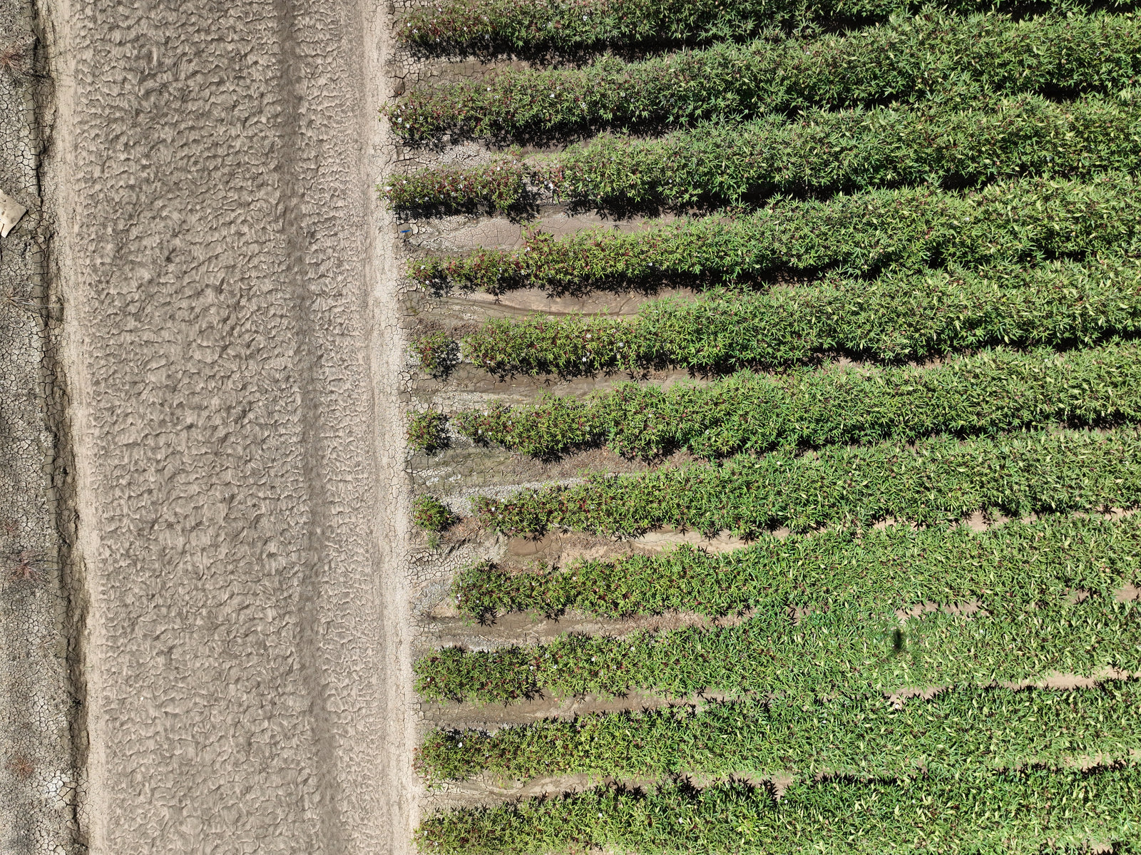
Landmapper runs a DJI dock as farm infrastructure. Scheduled flights go up on their own, and what comes back is crop health, stock counts and water asset condition rather than a folder of images.
- NDVI and leaf-level analysis on a schedule, not a site visit
- Livestock mustering and counting across paddocks
- Water infrastructure and fence line inspection after weather
- Post-harvest audits with the same flight path every season
AI Detection Across Your Orthomosaic
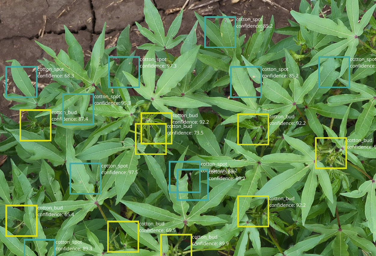
Landmapper runs trained models across processed imagery to flag weeds, pest damage, crop stress, and growth anomalies — geolocated and ready for agronomist review.
Schedule and Fly Autonomous Missions
Set your flight area, pick your schedule, and let Landmapper do the rest. Missions dispatch automatically from your DJI dock — no pilot, no manual trigger, no delays.
Push to John Deere or Export for Agras
Prescription maps go straight to your John Deere Operations Center or export for DJI Agras variable rate application. From detection to action in the same workflow.
Fast, Field-Ready Vegetation Analysis
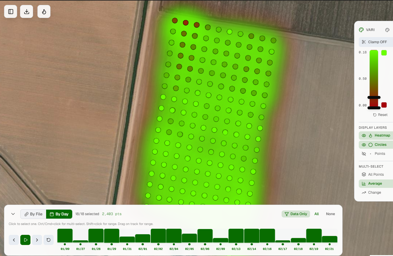
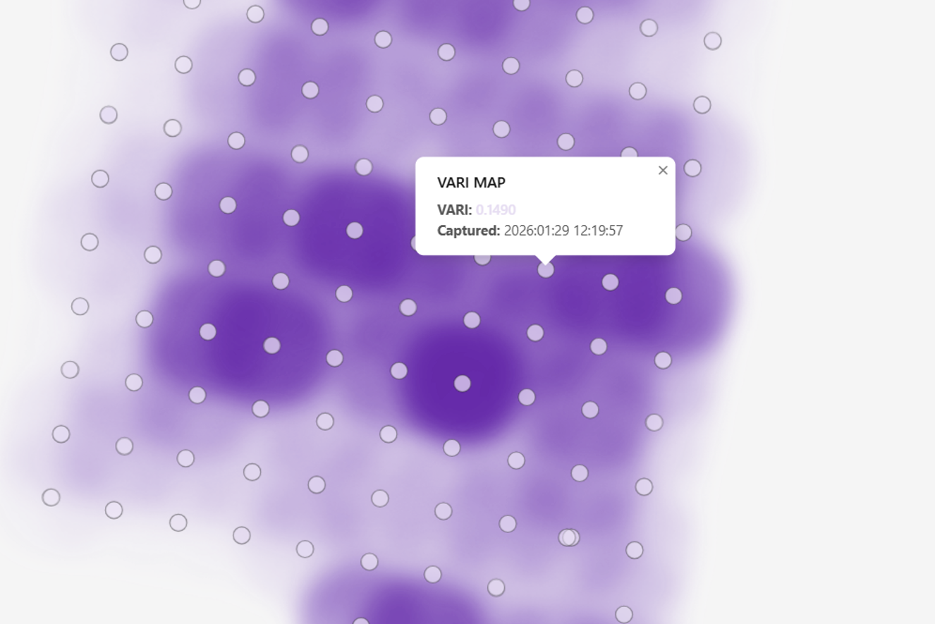
Skip complex payloads and processing delays. VARI mapping works with standard RGB datasets, delivering near-real-time outputs suitable for quick decision-making in agriculture, environmental monitoring, and site inspection.

Local support, end to end
From spec to deployment to processing, talk to a team that flies and scans for a living. We'll get you capturing faster.